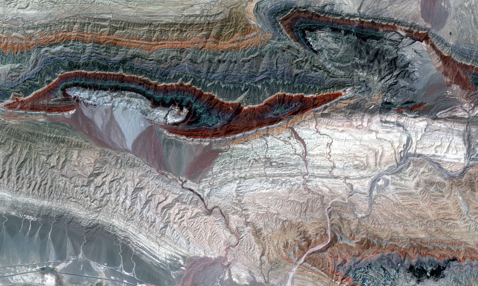
Remote sensing datasets and technologies can be used in many ways to enhance geological knowledge of areas all around the world. In recent years, remote sensing datasets have seen a large increase in spatial resolution and quality, which make it possible to use them for many purposes that were unheard of before. This is particularly useful for detailed mapping of structure, stratigraphy and alteration, at scales at which no published geological maps exist, showing the subtle geological features that are so important during exploration. Through a number of information articles, we intend to increase the knowledge about possible uses of remote sensing data and technologies, which are currently underutilized in exploration.
Hyperspectral satellite data – EnMAP examples for exploration & mapping
Mapping fundamental basement structures with satellite data
How to measure bedding dip direction quickly and accurately with digital elevation data
Non-seismic characterization of the near-surface for processing of land seismic reflection data