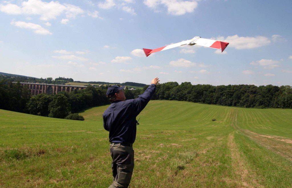
The use of unmanned aircraft (UAS or DRONES) in mining and exploration is no longer the future. Geosense is one of the pioneers to introduce professional application of unmanned aircraft in various sectors of the mining industry.
Together with our sister company URSUS-AIRBORNE, Geosense provides a range of airborne services using UAS-technology. Using either small fixed-wing UAS or helicopters with payloads capacity up to 35 Kg., we can operate a variety of sensors in a highly cost-effective and flexible manner.
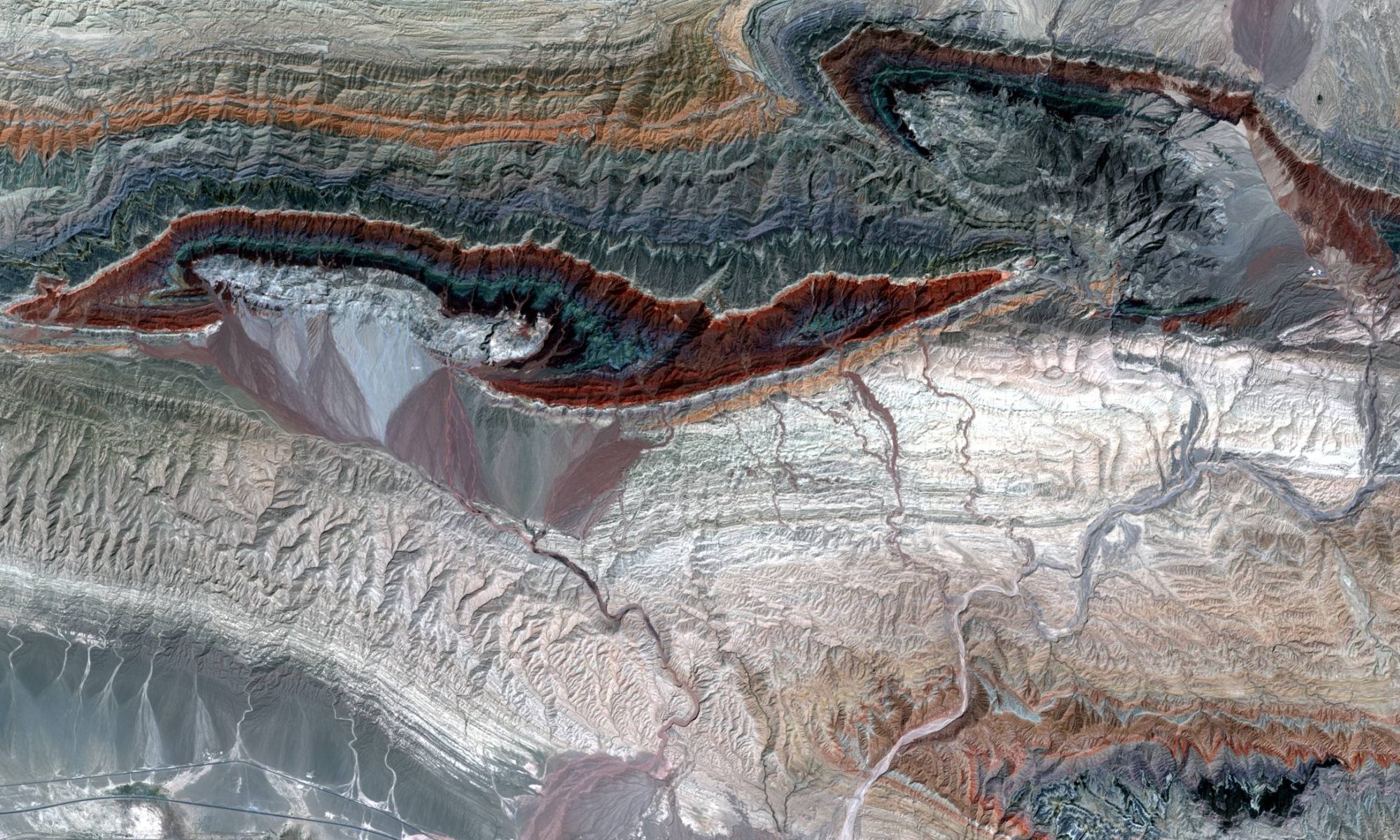
Our small fixed-wing UAS makes it very easy to generate airphoto’s with spatial resolution of less than 4 cm. Using these airphoto’s we can generate highly detailed Digital Elevation Models with a vertical accuracy of approximately 5 cm.
This can be done at a fraction of the cost of traditional aerial photography or High-resolution satellite imagery
Our unmanned helicopters with a payload capacity up to 35 Kg allow us to perform highly detailed precision surveys using a variety of sensors, such as LIDAR, Gammaray, Magnetics, Hyperspectral.
The equipment can be transported in a small van into the project area, which significantly reduces the cost of mobilisation and ferrying. On-site swapping of sensors enables us to combine different types of surveys into one mission, allowing further reduction of cost.